Welcome to RESOLV –
the Superior Solution for Atmospheric Correction!
RESOLV is software as a service (SaaS) supporting calibration and no-delay surface reflectance conversion. Periodic monitoring and recalibration is performed to ensure high accuracy for each satellite.
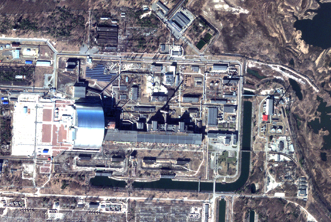
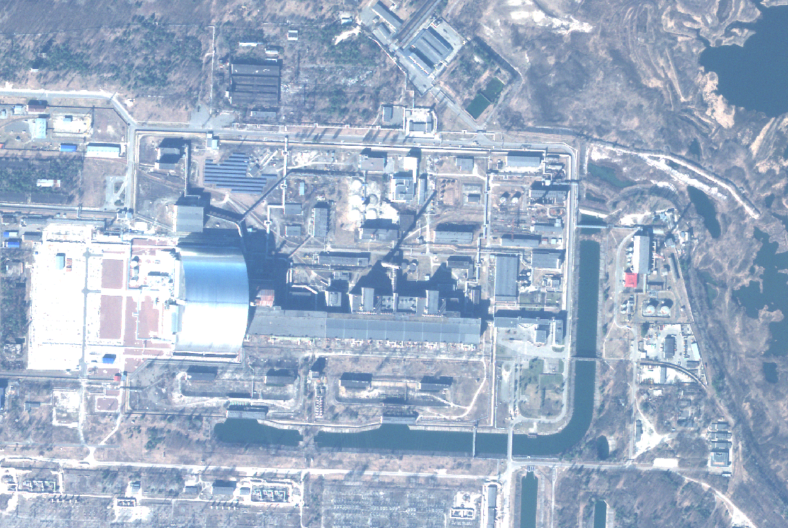
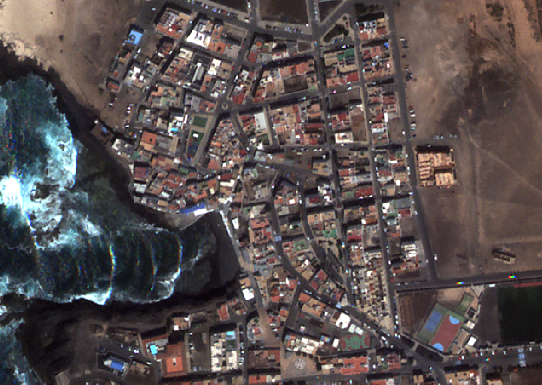
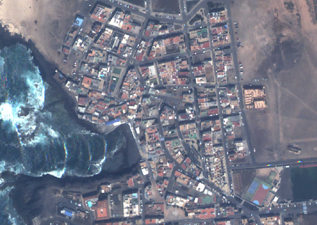
RESOLV’s surface reflectance conversion is based on the mathematical structure of atmospheric degradation that sets a higher bar for accurate retrieval of surface reflectance. Below is an example RESOLV correction for 30-m Landsat 8 pixels.
TOAR
RESOLV
LaSRC
Screenshot of August 3, 2021, Landsat 8 image of Okanagan Lake, British Columbia with forest fire smoke. NASA’s LaSRC, the current state of the art, has been recommended for correction of smallsat data so incorporates LaSRC issues. RESOLV will work for all VNIR satellites and improves as resolution increases due to reduction in spectral mixing.
Effortless Surface Reflectance
Calibration with RESOLV
Get fast, accurate surface reflectance conversion tailored to your satellite data—no delays, fully calibrated.
How it works:
1. Try it free with a demo for up to five satellites.
2. Send us your data, and we’ll handle the calibration.
3. Get your custom docker, ready to run unlimited images during the evaluation period.
4. Ongoing support for seamless integration and customization.
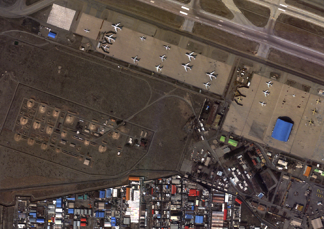
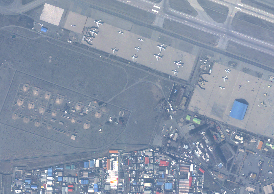
Surface reflectance removes haze – check these examples.
Your data can look as good!
For a demo, please fill out the form below. We’ll reach out ASAP to learn more about your system and get acquainted with your team.