RESOLV ™ is software as a service created to support correction of smallsat data to surface reflectance. The software that powers RESOLV is the CMAC algorithm developed with funding from the prestigious and highly competitive National Science Foundation Small Business Research program.
The CMAC workflow first maps the atmospheric effect as a grayscale from the satellite image using scene statistics. Reversing the effect applies an observation for how the atmosphere affected each image. The observation helped to translate the well-known empirical line method through inversion and adjustment for convenient, accurate and reliable atmospheric correction. Precedence for this approach was found in a four decades-old remote sensing paper. The resulting CMAC algorithm clears images of haze and restores the digital signal to surface reflectance applicable for any automated analysis from precision agriculture to artificial intelligence and machine learning.
CMAC maps the atmospheric effects in images using the spectral statistics from the image. This initial step assures that, unlike existing methods, the data output does not include calibrated error induced by mis-matched timing. CMAC has been verified to be inherently more accurate than existing methods. Also, CMAC works in near real-time without waiting for ancillary data from other satellites – RESOLV works immediately upon image download. The mapped atmospheric effects are used to scale the atmospheric correction. CMAC retrieves surface reflectance for levels of atmospheric effect that are uncorrectable us-ing existing methods.
RESOLV provides convenience, accuracy and reliability and follows new science.
Read more by downloading our white papers
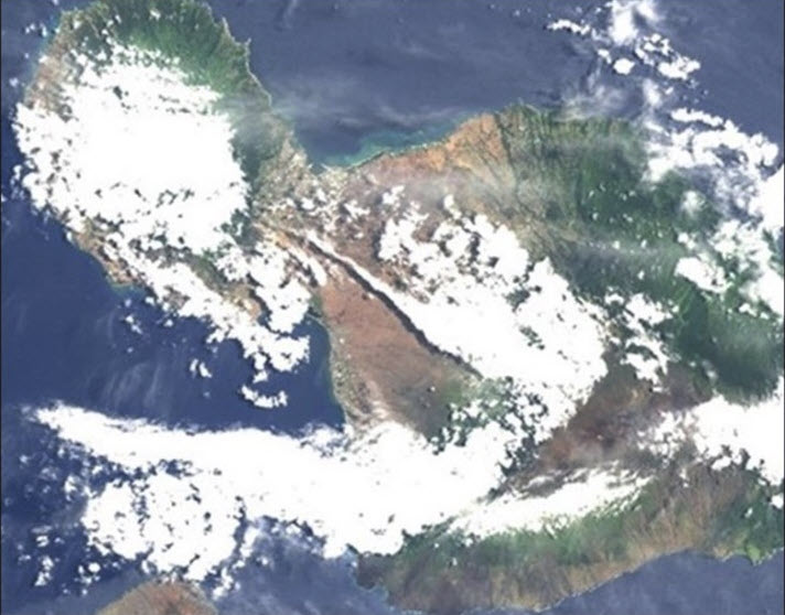
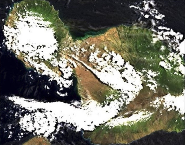
Landsat 8 views of Maui, Hawaii (06-12-2023), before and after RESOLV processing

About the Author
Hello,
I’m Dr. David Groeneveld, founder and leader of RESOLV™. Our software atmospherically corrects smallsat data conveniently, accurately and reliably and does so in near real time. The benefits of RESOLV™ go beyond its technical capabilities. Better accuracy helps researchers, scientists, and others make smarter choices to monitor and manage our planet.
Curious to learn more about RESOLV™, the science behind it and its potential for correcting smallsat images? Fill out this short form and I’ll be in touch.


