Download our white papers to understand our cutting-edge solutions
The force behind RESOLV is Dr. David Groeneveld, whose interest in satellite imaging traces back to the inception of the first Landsat program in the mid-1970’s. David’s innovative applications for satellite reflectance imaging have resulted in high-profile groundbreaking projects: multiple regional water resource assessments, a precision irrigation application sold to Monsanto/Climate Corp, an ecological model to predict vegetation responses for Sandia Labs/ U.S. DOE, and a monitoring program for dust control measures for the City of Los Angeles and the managing Air Pollution Control District that has been in use, now, for over two decades.
With RESOLV, David’s on a mission solving atmospheric correction, the major impediment for growth of the smallsat image industry.
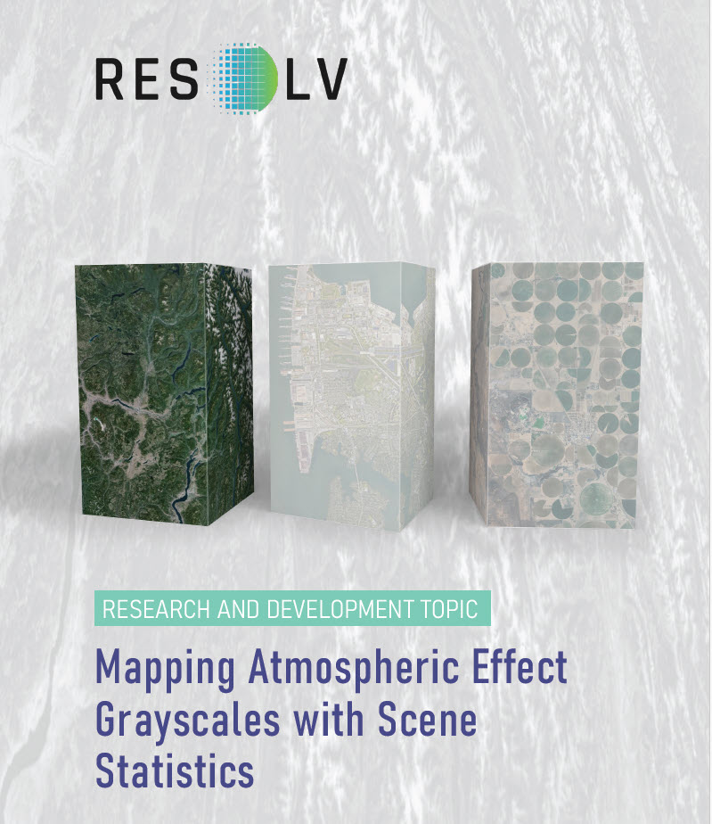
Mapping Atmospheric Effect Grayscales with Scene Statistics

The term “atmospheric effect” is used as a general term for
how light is changed through its interaction with Earth’s atmosphere. Existing atmospheric correction software, for example LaSRC for correction of Landsat, apply ancillary data generated by another satellite, MODIS (Moderate Resolution Imaging Spectroradiometer).
This requirement for ancillary data is a significant impediment for smallsat applications because MODIS data have coarse spatial resolution; ancillary data need to be processed before becoming available, thereby delaying processing the data of interest and may be obtained at a time differing by up to hours from the image capture by the smallsat.
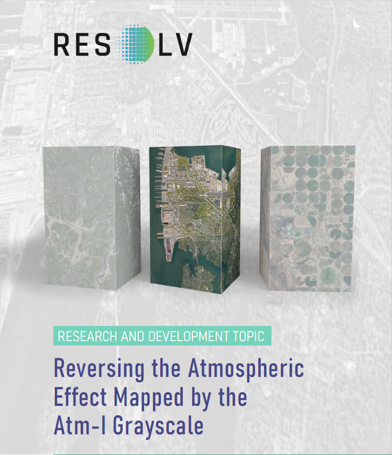
Reversing the Atmospheric Effect Mapped by the Atm-I Grayscale


CMAC development began with a unique discovery: the changes in cumulative distribution functions (CDFs) from top-of-atmosphere reflectance (TOAR) occur in a structured pattern when comparing clear and hazy images for an area of interest (AOI) across short time spans. Increasing haze causes reflectance CDFs to rotate counterclockwise, and for decreasing haze, rotate clockwise. We called this
the “pinwheel effect” due to the rotation of the CDF from the changing atmospheric effects.
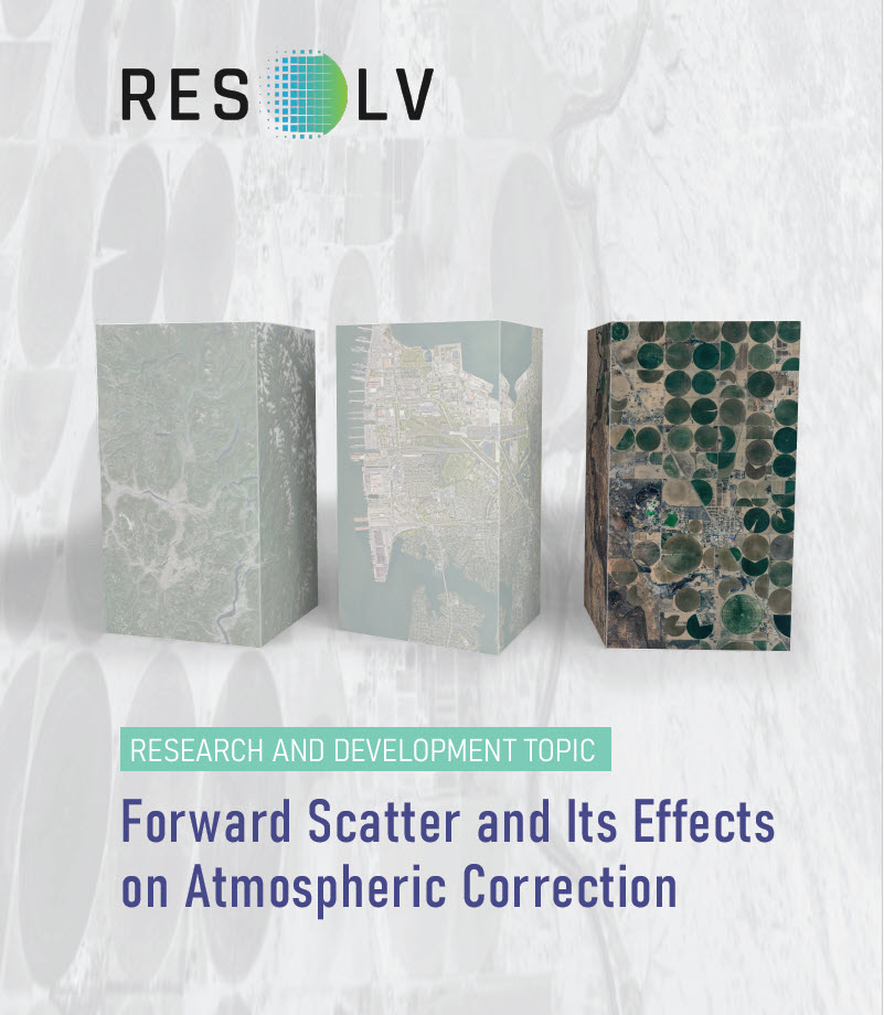
A first indication of forward scatter was observed
while we were developing the Atm-I model. The
resulting grayscale output systematically showed
locations that the model indicated were affected to
a greater degree than would have been expected.
Bright rooftops, rock outcrops, bare soil and water
bodies were portrayed much brighter in the Atm-I
grayscale than would be expected were backscatter
from atmospheric particles the sole mechanism at
work.
Join us as we explore atmospheric correction of satellite images and how this unlocks the data for precision applications.
In our commitment to excellence, RESOLV’s method has undergone rigorous comparative analysis against established atmospheric correction software. RESOLV has been benchmarked against LaSRC and Sen2Cor and has successfully been applied to high-resolution smallsat data.
RESOLV’s completely new approach starts by mapping the atmospheric effect across each image as a grayscale input to an algorithm that is based on observations of the behavior of light after transmission through Earth’s atmosphere. This algorithm inverts and adjusts the accepted empirical line method resulting in a closed-form equation that provides lightning-fast calculations. Through this structure, RESOLV delivers the most accurate estimates of surface reflectance possible for any image anywhere.
Key findings from the comparison include:
- Proven Accuracy: RESOLV consistently delivers high levels of accuracy in surface reflectance data, often surpassing other methods in challenging atmospheric conditions.
- Designed Efficiency: RESOLV’s intricate design ensures rapid data processing, delivering near real-time surface reflectance data of impeccable quality.
- Future-Ready Versatility: Beyond mere proof-of-concept, RESOLV has exhibited its adaptability, seamlessly integrating with a diverse range of smallsats.
