These white papers offer new perspectives
RESOLV is led by Dr. David Groeneveld, whose passion for satellite imaging was sparked in the mid-1970s with the launch of the first Landsat program. Since then, he has pioneered applications for Earth observation reflectance data. His contributions in this field include expert testimony in state and federal water rights cases, comprehensive regional water resource assessments and models, and creating a precision irrigation tool that was later acquired by Monsanto/Climate Corp.
David has applied EO data for input and solutions to high profile environmental issues. These include a geospatial model to predict vegetation responses for Sandia National Laboratories and U.S. Department of Energy to understand the potential for infiltration into the proposed Yucca Mountain radiation waste repository. He played a pivotal role as lead author and negotiator of provisions that resolved an 85-year-old conflict over water resources between Los Angeles and Owens Valley, California. David’s innovations also extend to air quality management through a satellite-based monitoring program to oversee dust control measures for the City of Los Angeles and the managing air pollution control district now in use for over two decades.
Today, David and his team are turning their attention to one of the most persistent challenges in remote sensing: generating accurate, reproducible surface reflectance across the wide spectrum of global environments. Through RESOLV’s forward-looking “Next-gen” program, they aim to set a new standard in the industry by delivering enhanced accuracy and consistency in surface reflectance retrieval for all Earth observation sensors operating in the visible to near-infrared spectrum.
CMAC versus Sen2Cor Software Surface Reflectance from Sentinel-2 Data
Note: The algorithm built into the RESOLV service is CMAC (Closed-form Method for Atmospheric Correction). CMAC has been used in our publications and is also used throughout these white papers.

This white paper summarizes our recent journal paper that introduced an initial formulation of the CMAC software compared to Sen2Cor for atmospheric correction of Sentinel-2 data. S2 data are of excellent quality with repeat imaging in North America often three and 5 days apart: properties that made S2 an ideal testbed for CMAC development. The workflow is described as well as pertinent atmospheric phenomenology that enabled development of the Atm-I statistical model to assess atmospheric effect and the conceptual model that is applied to convert TOAR back to surface reflectance..
CMAC versus LaSRC Software
for Landsat Data

This paper recaps analyses and results in our second journal paper that compared CMAC and LaSRC software performance for atmospheric correction of Landsat 8 and 9 images. The methods were the same as used in the white paper evaluation of Sen2Cor (above). Like Sentinel 2a and 2b, the L8 and L9 sensor responses are virtually identical, so were not differentiated in this analysis. LaSRC corrected images were downloaded from Earth Explorer.
CMAC applies a completely different workflow than Sen2Cor and LaSRC. With no common methodology touchpoints, CMAC is best evaluated through comparative performance with existing methods. CMAC and LaSRC results agreed closely for images obtained through relatively clean atmospheres. LaSRC Accuracy was severely impacted for images obtained for moderate to extreme levels of wildfire smoke while CMAC provided accurate surface reflectance retrieval in all cases.
Reliability and Stability of CMAC Compared to LaSRC

As a first-order approximation, color balance and clarity can verify that atmospheric correction results are close to true surface reflectance. If so, the resulting image will be clear of haze and present natural appearing colors. Such comparisons between CMAC and LaSRC have repeatedly shown wide differences that would hypothetically result from systematic divergence of surface reflectance estimates. This was investigated for atmospherically corrected Landsat 8 data in the region near Lake Newell, Alberta, Canada. The disparity between the color balance of the CMAC and LaSRC corrections was determined to result from changes in statistical properties for targets known to remain consistent through the period of study. Although the CMAC version looks appropriate, the question was asked, which is correct? This question was examined using reflectance distributions between high and low spectral diversity AOIs.
This paper predated the third Juried Paper (links in Peer Reviewed Papers page) and prompted additional analyses that confirmed that LaSRC output for low dark to bright spectral diversity is unreliable. CMAC output remained stable and correct despite aerosol loading. Sen2Cor has not been tested, but extensive observations of many image corrections has indicated that Sen2Cor shares this LaSRC limitation.
Mapping Atmospheric Effect Grayscales with Scene Statistics
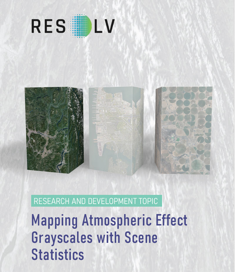
“Atmospheric effect” is a general term we use to describe our chosen characterization as a lump sum effect to scale the reversal of the changes due to transmission of light through Earth’s atmosphere. Existing atmospheric correction software, for example LaSRC for correction of Landsat, apply ancillary data generated by another satellite, MODIS (Moderate Resolution Imaging Spectroradiometer). This requirement for ancillary data is a significant impediment for smallsat and higher resolution applications in general because MODIS data have coarse spatial resolution and delay data processing. A more serious problem arises through mismatched overpass times that may differ by hours. The mismatch greatly increases the uncertainty for atmospheric correction affecting its reliability. CMAC avoids this serious problem through assessment of atmospheric effects using the Atm-I model’s analysis of band statistics of each image.
When displayed as a raster, the Atm-I values measured across the image portray a grayscale map whose brightness indicates the degree of atmospheric effect upon the reflectance. This grayscale allows sensitive, spatially discrete reversal of the atmospheric effect.
Reversing the Atmospheric Effect Mapped by the Atm-I Grayscale
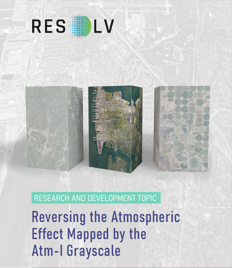
CMAC development began with a unique discovery: changes in cumulative distribution functions (CDFs) for top-of-atmosphere reflectance (TOAR) occur in a structured pattern. Comparing clear and hazy images for the same area of interest (AOI) across short time spans shows that increasing haze causes reflectance CDFs to rotate counterclockwise, and for decreasing haze, to rotate clockwise. We called this the “pinwheel effect” due to the rotation of the CDF from the changing atmospheric effects. The pinwheel effect was translated into a conceptual model by inverting and adjusting the axes of the well-known empirical line method. The resulting conceptual model has precedence in a prestigious remote sensing paper from 1985.
This CMAC conceptual model summarizes atmospheric effect as a linear relationship that we dubbed the “TOAR deviation line” that encodes the change of reflectance from SR to TOAR. Each TOAR deviation line represents all pixel reflectances, dark to bright, lying under the same airmass that is represented by the atmospheric index, Atm-I. This line is uniquely defined by its slope and y-intercept. The slope and intercept are calibrated to Atm-I to provide curves for translating the Atm-I grayscale into the required slopes and offsets. These parameters allow reversing the TOAR to surface reflectance spatially across images.
Forward Scatter and Its Effects on Atmospheric Correction
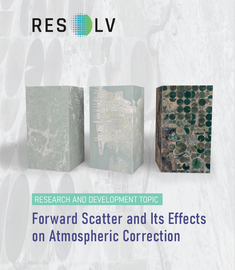
A first indication of forward scatter was observed while we were developing the Atm-I model. The resulting grayscale output indicated locations across images that were affected by the atmosphere to a greater degree than the surrounding area. Bright rooftops, rock outcrops, bare soil and specular reflectance off of water bodies were portrayed much brighter in the Atm-I grayscale than would be expected were backscatter from atmospheric particles the sole mechanism at work. Another indication of forward scatter that can be readily observed in TOAR data is that bright targets tend to expand to neighboring pixels while dark targets contract – this is illustrated for same sized black and white panels of targets arrayed in the typical checkerboard pattern. This phenomenon tends to limit the quality of atmospheric correction as Atm-I increases and greatly affects bright targets
Though forward scatter appears to play a critical role in atmospheric correction, this fact does not appear to be recognized in the remote sensing literature.
NDVI from Atmospherically Corrected Satellite Data
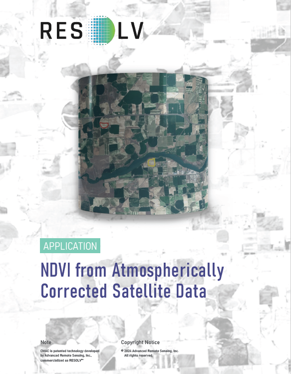
NDVI (normalized difference vegetation index) and similar indices mathematically represent plant activity that expresses vigor directly translating to photosynthetic production, carbon uptake, crop yield, etc. In agriculture, NDVI is the most commonly used of many indices because it is both simple and reliable: NDVI = (NIR – Red) / (NIR + Red). Nearly all vegetation indices apply red and near infrared (NIR) bands to evaluate plant vigor.
NDVI is an indicator of the quality of atmospheric correction when displayed in an image time series. True plant growth curves change through time smoothly, without jagged up and down diversions. This fact was used to evaluate the accuracy of corrected data though a time series display of multiple S2 images. NDVI from CMAC correction accurately portrayed crops from germination at the beginning to senescence at the season’s end. In contrast, the NDVI for both TOAR and Sen2Cor were negatively influenced by atmospheric conditions. The accuracy and stability of the CMAC NDVI-time-series demonstrates how correct NDVI will render growing degree day calculations obsolete through a data indexing method. This alternative application is just one of many applications afforded by correct surface reflectance retrieval applicable under automation across the vast scale of satellite imagery.
Join us as we explore atmospheric correction of satellite images and how this unlocks the data for precision applications.
In our commitment to excellence, RESOLV has undergone rigorous comparative analysis against established atmospheric correction software, benchmarked against the widely accepted packages LaSRC and Sen2Cor. RESOLV has also been successfully applied to high-resolution smallsat data.
RESOLV represents a completely new approach. It begins by mapping the atmospheric effect across each image as a grayscale input, which is then processed through an algorithm based on observations of light behavior after it passes through Earth’s atmosphere. This algorithm modifies and inverts the traditional empirical line method, resulting in a closed-form equation that enables lightning-fast calculations. With this structure, RESOLV delivers the most accurate estimates of surface reflectance for any image, anywhere.
Key findings from the comparison with competing methods include:
- Proven Accuracy and Reproducibility: RESOLV consistently delivers highly accurate surface reflectance retrievals, even under challenging atmospheric conditions, outperforming traditional methods.
- Designed Efficiency: RESOLV’s architecture ensures rapid processing, providing near real-time surface reflectance data with exceptional precision.
- Future-Ready Versatility: RESOLV goes beyond proof-of-concept and has demonstrated adaptability, seamlessly integrating with a wide variety of Earth observation sensors and platforms.