Download our white papers to understand our cutting-edge solutions
The force behind RESOLV is Dr. David Groeneveld, whose interest in satellite imaging traces back to the inception of the first Landsat program in the mid-1970’s. David’s innovative applications for satellite reflectance imaging have resulted in high-profile groundbreaking projects: multiple regional water resource assessments, a precision irrigation application sold to Monsanto/Climate Corp, an ecological model to predict vegetation responses for Sandia Labs/ U.S. DOE, and a monitoring program for dust control measures for the City of Los Angeles and the managing Air Pollution Control District that has been in use, now, for over two decades.
With RESOLV, David’s on a mission solving atmospheric correction, the major impediment for growth of the smallsat image industry.
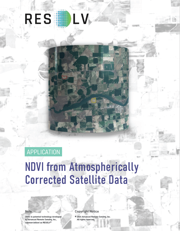
NDVI from Atmospherically Corrected Satellite Data

NDVI (normalized difference vegetation
index) and similar indices represent plant activity
mathematically to express vigor that directly
translates to photosynthetic production , carbon
uptake, yield, etc. For agriculture, NDVI is the most
commonly used of many indices because it is both
simple and reliable: NDVI = (NIR – Red) / (NIR +
Red). Nearly all vegetation indices apply red and
near infrared (NIR) bands to evaluate plant vigor.
The red band experiences the least atmospheric
scatter in the visible wavelengths, and NIR even less.
Vigorous plants absorb nearly all red light to support
photosynthesis; down to about 2-3% reflectance,
while NIR is highly reflected from healthy plants.
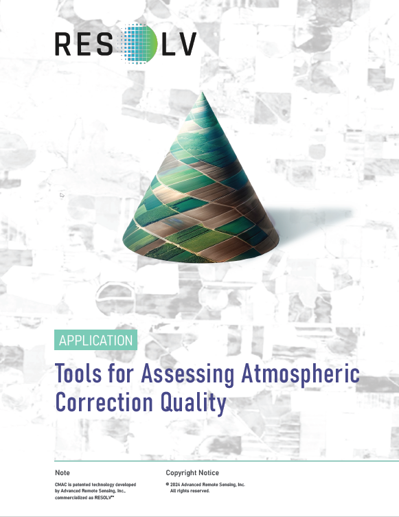
Tools for Assessing Atmospheric Correction Quality

CMAC was developed for smallsats in a two-part
process that first maps the atmospheric effect in
each image and then reverses it to deliver surface
reflectance. Through our work developing CMAC, we
have learned useful methods and applications. Two
robust and simple applications are described here.
Join us as we explore atmospheric correction of satellite images and how this unlocks the data for precision applications.
In our commitment to excellence, RESOLV’s method has undergone rigorous comparative analysis against established atmospheric correction software. RESOLV has been benchmarked against LaSRC and Sen2Cor and has successfully been applied to high-resolution smallsat data.
RESOLV’s completely new approach starts by mapping the atmospheric effect across each image as a grayscale input to an algorithm that is based on observations of the behavior of light after transmission through Earth’s atmosphere. This algorithm inverts and adjusts the accepted empirical line method resulting in a closed-form equation that provides lightning-fast calculations. Through this structure, RESOLV delivers the most accurate estimates of surface reflectance possible for any image anywhere.
Key findings from the comparison include:
- Proven Accuracy: RESOLV consistently delivers high levels of accuracy in surface reflectance data, often surpassing other methods in challenging atmospheric conditions.
- Designed Efficiency: RESOLV’s intricate design ensures rapid data processing, delivering near real-time surface reflectance data of impeccable quality.
- Future-Ready Versatility: Beyond mere proof-of-concept, RESOLV has exhibited its adaptability, seamlessly integrating with a diverse range of smallsats.
